33.4242° N, 111.9281° W
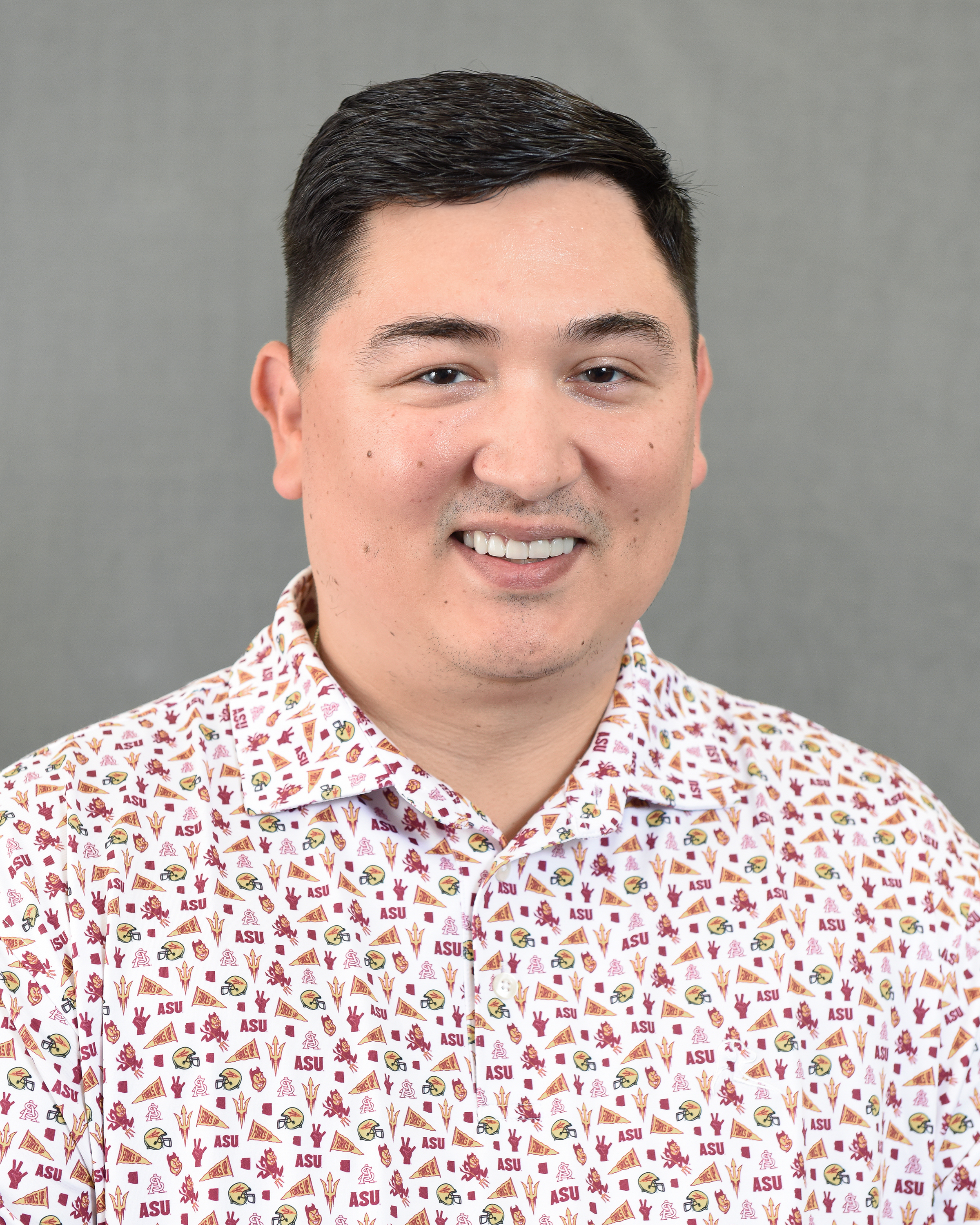
Aaron Flores
Assistant Professor
School of Geographical Sciences & Urban Planning, Arizona State University
I am a human-environmental geographer with research interests centered around the social aspects of hazards and disasters. My work focuses on distributional environmental justice, determining whether socially disadvantaged groups face disproportionate exposure to hazards such as flooding, extreme heat, and pollution. I also examine how environmental exposures relate to health outcomes, and how individuals and communities perceive risks from these hazards. I use quantitative methods, large datasets, and geospatial techniques in GIS to analyze patterns of environmental injustice.
I earned my B.A. and M.S. in Geography from Texas Tech University and completed my PhD at the University of Utah. My research has been funded by the National Science Foundation and the Ford Foundation. I teach courses in GIS, environmental justice, and statistics, and I am deeply committed to mentoring students. Outside of academia, you can usually find me hanging out with my dogs by the pool, watching sports, or grilling.
Flood Risk Inequities
Federally-Overlooked 100-Year Flood Zones in the U.S.
My main current research area focuses on federally-overlooked 100-year flood risk inequities in the Conterminous United States. These are flood zones that are not identified in federal flood risk assessments. This work utilizes dasymetric mapping, flood risk data from Fathom and the Federal Emergency Management Agency (FEMA), as well as sociodemographic data from the American Community Survey.
Building Quality in Overlooked Zones
Former ASU PhD student Yilei Yu (now a postdoc at Rice University) led a study showing that buildings in federally-overlooked flood zones are of lower quality and condition than buildings in FEMA flood zones in Greater Houston.
FEMA Underprediction in Utah
University of Utah PhD student Austin Clark led a study showing that FEMA may underpredict flood risks to residential properties in Utah by 13×.
Health Impacts of Flooding
Mortality and Large Floods
During my PhD at the University of Utah, I conducted extensive work on the physical and mental health impacts of Hurricane Harvey, highlighting disproportionate impacts on racial/ethnic minorities and those of low socioeconomic status in Greater Houston.
More recent work in collaboration with researchers at Columbia University, Harvard, and the University of Arizona analyzes 35.6 million death records spanning the past two decades. The study reveals that large floods were linked to up to a
including cardiovascular disease, infectious diseases, and injuries, even in non-hurricane-related floods caused by heavy rain, snowmelt, or ice jams. I have also conducted a review paper examining differential impacts in physical and mental health outcomes while assessing methodological considerations across the literature on flooding and health in the U.S.
Extreme Heat
Neighborhood-Level Heat Inequities
I have examined inequitable exposure to extreme heat at the neighborhood level using Landsat satellite imagery and air temperature data in places such as Phoenix, AZ, Lubbock, TX, and the Northeastern United States. This research has consistently observed that neighborhoods with higher percentages of racial/ethnic minorities and those of low socioeconomic status experience disproportionate exposure to elevated temperatures. I am also increasingly interested in other metrics and devices to examine heat, such as mean radiant temperature and sensor technologies.
Air Quality Monitoring
PurpleAir Sensor Inequities
I have collaborated on projects focused on social inequalities in the distribution of PurpleAir sensors (a non-governmental air quality monitoring network) in Los Angeles County, California, and Phoenix, Arizona. This work indicates that neighborhoods with higher percentages of Hispanic/Latinx, Black, and low-income residents have reduced access to information about local air pollution. The near real-time, high spatial resolution pollution estimates provided by PurpleAir can help the public stay informed about their local air quality, which may help them make routine and/or protective decisions to lessen their exposures. While people seek to use citizen science to equalize environmental knowledge, the self-organizing nature of non-governmental air quality monitoring networks can be exclusionary and may reproduce patterns of environmental injustice.
Community-Engaged Research
St. Mary's Food Bank + ASU
In 2024, my colleagues and I started a partnership with St. Mary's Food Bank, where we co-developed an interactive GIS dashboard to support data-driven strategies for addressing food insecurity across Arizona. As part of this collaboration, I co-mentor undergraduate and graduate students alongside Connor Sheehan (School of Social and Family Dynamics) and Christina Ngo (Office of University Affairs). Together, we train students in spatial and statistical analysis, research design, and manuscript preparation.
We work closely with food bank leadership to co-produce research questions, brainstorm project ideas, and create data visualizations. This collaboration also led to the creation of the Data Devils program, which I co-founded with Sheehan and Ngo. Data Devils provides graduate students with hands-on training in data analytics and community-engaged research.
Dog Licensing Compliance in Maricopa County
In collaboration with Maricopa County Animal Care and Control, we geolocated areas of low dog licensing compliance across the county. This ArcGIS StoryMap project identifies spatial patterns that can help target outreach and improve public health and animal welfare outcomes.
Feeding Arizona
This interactive dashboard presents demographic and food insecurity profiles across food bank service areas statewide, prepared for St. Mary's Food Bank, United Food Bank, Community Food Bank of Southern Arizona, and Yuma Community Food Bank.
Students
Current PhD and masters students I advise or co-advise, along with recent alumni.
Current Advisees
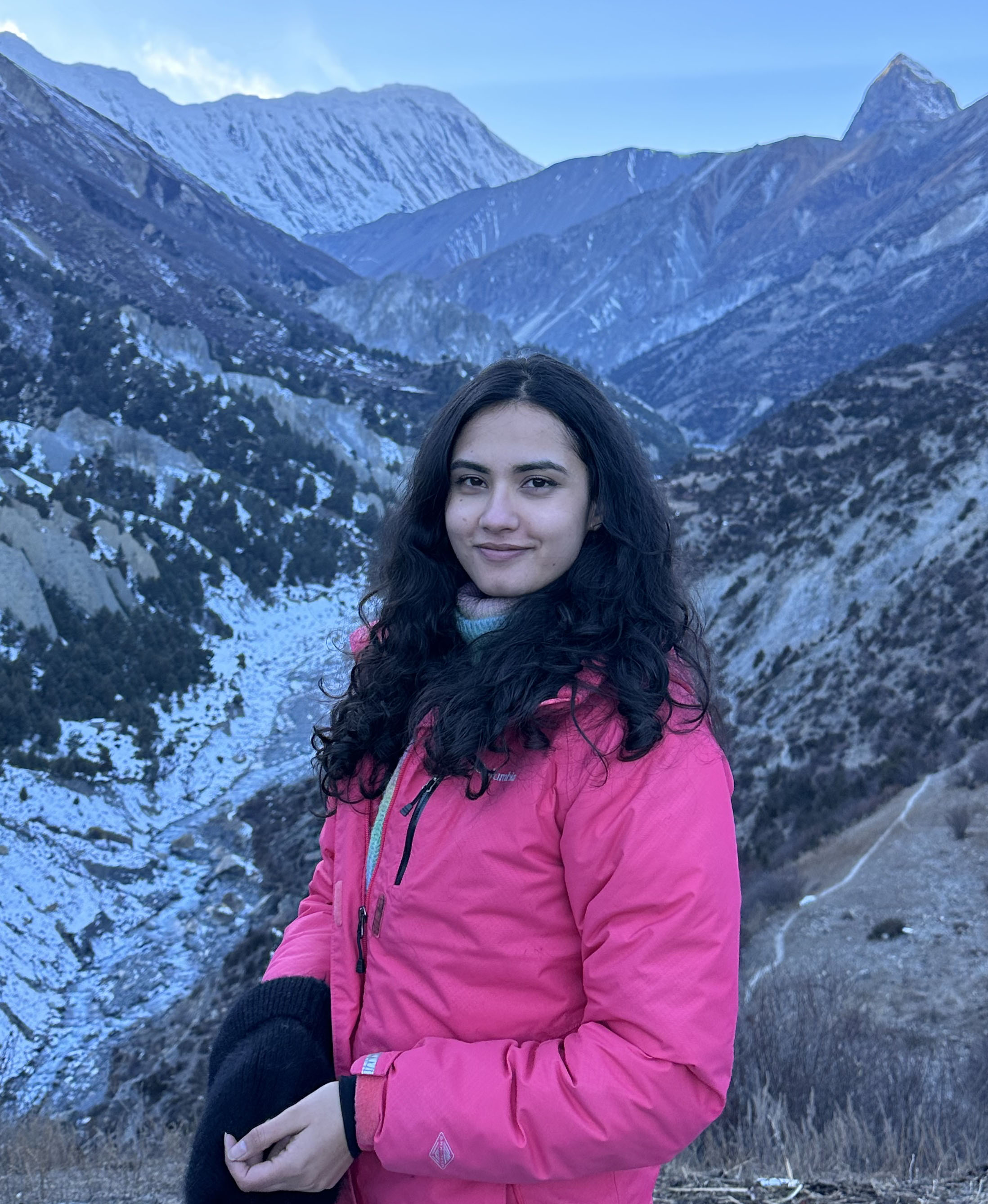
Sophiya Gyanwali
PhD Student in GIS
Committee: Dr. Aaron Flores (Chair), Dr. Dylan Connor, Dr. Sara Meerow
Sophiya is a social scientist and human geographer specializing in social vulnerability, urban development, and environmental justice in the context of flooding. She holds an M.S. in Geography from Virginia Tech and a B.S. in Environmental Science from Kathmandu University in Nepal. Her doctoral research investigates development patterns within FEMA-designated and federally-overlooked flood zones over time, examining the social determinants that drive these trends and their implications for vulnerable communities.

Alamin Molla
PhD Candidate in GIS
Committee: Dr. David Sailor (Co-Chair), Dr. Aaron Flores (Co-Chair), Dr. Heather Baier
Alamin is an urban scientist and geospatial data expert specializing in spatial data science, urban climate, and environmental justice. He holds an M.S. in Geoinformatics & Geospatial Intelligence from George Mason University, an M.S. in Geography from Auburn University, and a B.S. in Urban and Rural Planning from Khulna University, Bangladesh. His doctoral research integrates GeoAI, UAV technology, and advanced geospatial methods to address urban challenges such as extreme heat, air quality, and climate resilience.
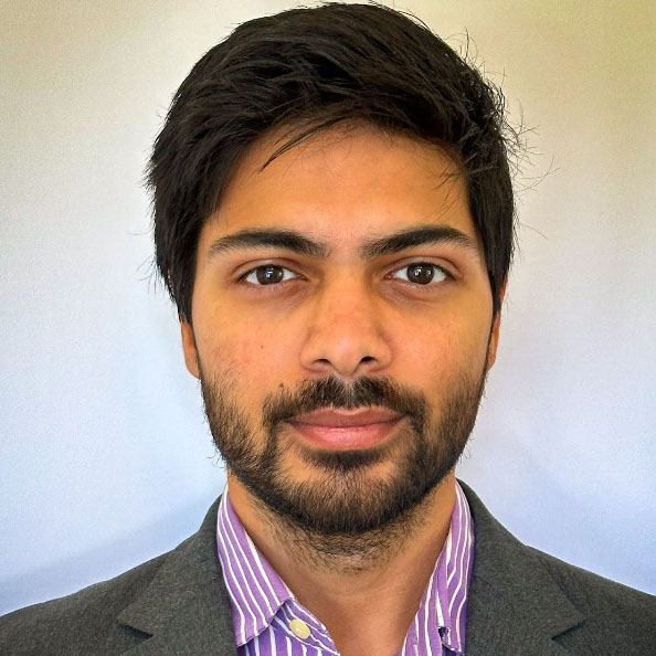
Ritvik Shukla
PhD Candidate in Environmental Social Science
Committee: Dr. Abigail York (Chair), Dr. Danae Hernandez-Cortes, Dr. Kelli Larson, Dr. Aaron Flores
Ritvik is a just transition scientist with a particular interest in mixed methods research. He holds a B.S. in Environment and Natural Resources from Ohio State and an M.S. in Earth and Environmental Resources Management from the University of South Carolina. His dissertation examines the supply, demand, and governance of public electric vehicle charging infrastructure in Maricopa County, Arizona.

Consolata Macharia
PhD Student in Geography
Committee: Dr. Sara Meerow (Chair), Dr. Aaron Flores
Consolata is a human-environmental geographer whose research explores the intersections of urban climate resilience, green infrastructure planning, environmental justice, and urban climate governance. She examines how green infrastructure can serve as both a resilience strategy and a tool for advancing environmental justice.
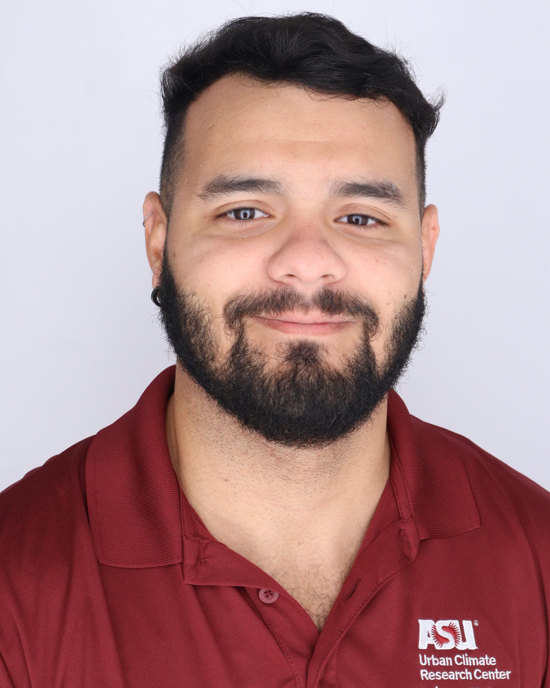
Leonardo Prado
PhD Student in Geography
Committee: Dr. Jose-Benito Rosales Chavez (Co-Chair), Dr. Jenni Vanos (Co-Chair), Dr. Aaron Flores
Leonardo is an environmental social scientist and geographer specializing in urban climate, human thermal comfort, and environmental justice through the lens of Critical Physical Geography. His research examines the heat exposure experienced by street vendors across Los Angeles, Mexico City, and São Paulo.
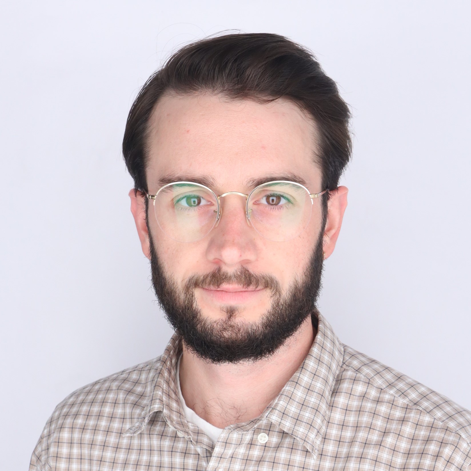
Eli Martin
Masters Student in Geography (Online)
Committee: Dr. David Sailor (Chair), Dr. Aaron Flores, Dr. Ariane Middel
Eli Martin is a Field Technician with the Southwest Integrated Field Laboratory (SW-IFL), a Department of Energy funded project led by Arizona State University that focuses on urban climate research. While working on this project, he is also pursuing a Geography MA through the School of Geographical Sciences and Urban Planning’s online program. Prior to joining the SW-IFL project at ASU, Eli worked as a field geologist for an environmental consulting firm in New Mexico after earning an Earth Science BS from the University of Maine in 2018. His research interests include urban climate, extreme heat, and climate resilience.
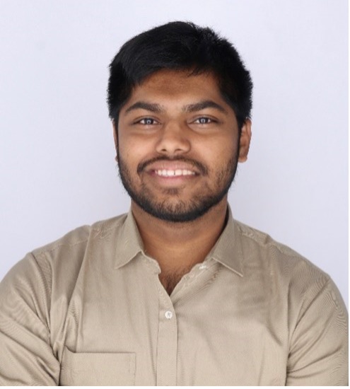
Mahin Rahman
Incoming PhD Student in Geography (Fall 2026)
Mahin recently completed his M.A. in Urban and Environmental Planning at ASU and will begin his PhD in Geography in Fall 2026. His research focuses on climate resilience, heat vulnerability, and environmental justice, with particular interest in how environmental and social indicators influence spatial priorities for green infrastructure in Phoenix.
Alumni
- PhDHyunho Lee (GIS, 2022–2026)
Chair: Dr. WenWen Li · Committee: Dr. Aaron Flores, Dr. Hannah Kerner
Geospatial Artificial Intelligence for Satellite-Based Flood Mapping: Data, Multimodal Fusion, and Explainability - PhDShaylynn Trego (Geography, 2023–2026)
Co-Chairs: Dr. Sara Meerow, Dr. David Hondula · Committee: Dr. Aaron Flores, Dr. Ladd Keith
From Policy to Perception: Institutionalizing Heat Resilience Across Scales in America's Hottest Large City - PhDYilei Yu (GIS, 2023–2025)
Chair: Dr. Dylan Connor · Committee: Dr. Aaron Flores, Dr. Sara Meerow
Spatial Data Science for Natural Hazards and the Built Environment - MAMahin Rahman (Urban & Environmental Planning, 2025–2026)
Chair: Dr. Sara Meerow · Committee: Dr. Aaron Flores, Dr. Daoqin Tong
Spatial Planning of Urban Vegetation for Climate Resilience: A Sensitivity Analysis of Prioritization Indicators in Phoenix, Arizona - MACarson Metzler (Geography, 2023–2025)
Co-Chairs: Dr. Aaron Flores, Dr. Jennifer Vanos · Committee: Dr. Connor Sheehan
Sleeping in the Heat: Insights from the HeatSuite Phoenix Pilot Study - MABradly Mannix (Geography, 2023–2025)
Chair: Dr. Jose-Benito Rosales Chavez · Committee: Dr. Aaron Flores, Dr. Deirdre Pfeiffer
Urban Food Equity: Addressing Food Diversity Disparities in HOLC Redlined Communities of Phoenix